

SMOLENSKAYA EMBANKMENT
ROSTOVSKAYA EMBANKMENT
SAVVINSKAYA EMBANKMENT
153000m²
AREA
₽2100mln.
BUDGET
GKU UKRIS
EMPLOYER
MOSCOW,
CENTRAL ADMINISTRATIVE DISTRICT
EMPLOYER
MOSCOW,
CENTRAL ADMINISTRATIVE DISTRICT

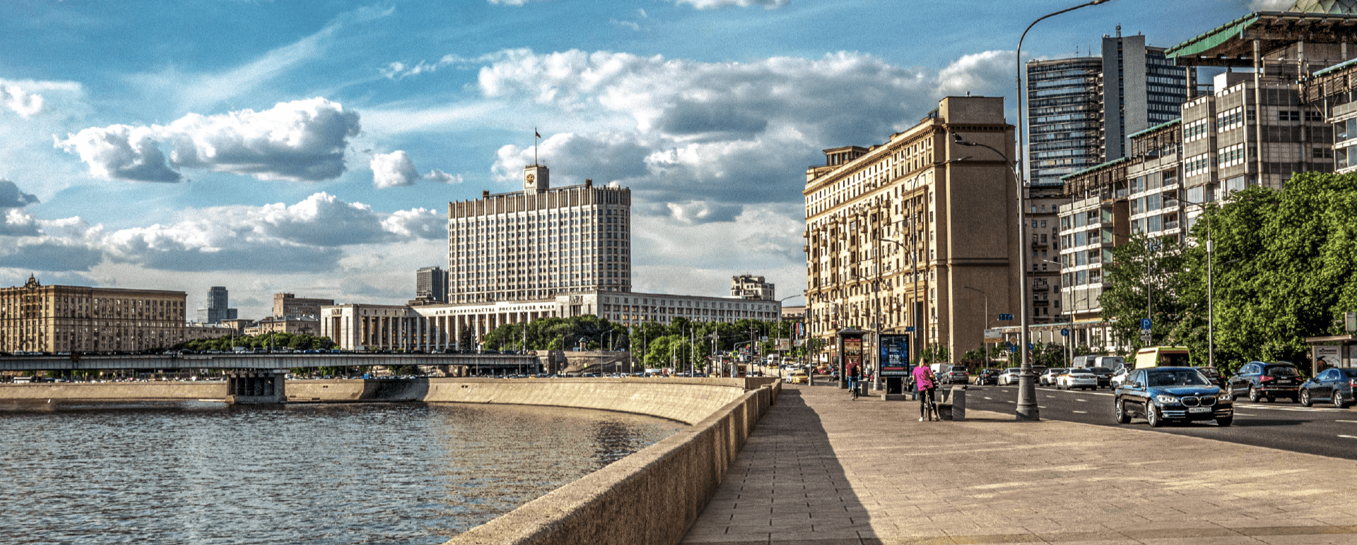
EMBANKMENTS IN THE CENTER OF MOSCOW ARE ACKNOWLEDGED CITY LANDMARKS
Redevelopment of the embankment consists of rearrangement of carriage way, intensive planting, and redevelopment of pedestrial area.


After the redevelopment these three
embankments became a part of a single walking
area along the Moscow river, from the New Arbat
to the Novo-devichi convent. over 50,000 m2 of
pedestrian footpaths are paved with large granite
paving stones. Sidewalks are 2.5-7.5 m wider
than before. Over 300 new main illumination
poles and over 100 additional standing lamp
poles with energy-saving lamps were installed
along the sidewalks. Pedestrian footpaths are
separated from the carriage way by grass lawns,
trees and bushes. Near the river there are
observation decks, benches, litter-baskets
and points of information. Housefronts
on the embankments were also renovated.

47960m2
PAVING AREA
27447m2
AREA OF GRASS LAWN
366PCS
ILLUMINATION POLES
191PCS
TREES
2376PCS
BUSHES
 Rostovskaya embankment received its name in the 19th century from Rostovskaya sloboda that had been founded in the 15th-16th centuries near the habitation of bishops of Rostov.


Smolenskaya embankment is situated on the left bank of the Moscow river from the Borodinskiy bridge to Bol’shoy Novinskiy lane. The length of the embankment is 1,089 m, the average width is 42.7 m.
